Wine lovers enjoy looking at maps of their favourite districts. Austrian Wine has now launched a digital atlas of the country’s wine region, the first in the world. The atlas shows all the regions, from the lowest level – Österreichischer Wein – to more than 4,300 single vineyards. You can also find information about the surface, altitude, average temperature, precipitation and hours of sunshine. A real gold mine of information, in other words.
Austria has about 48,000 hectares of vineyards, mainly located in the eastern part of the country. Although the country is best known for the white grüner veltliner wines, mainly from Lower Austria (Niederösterreich), red wines are increasingly appreciated.
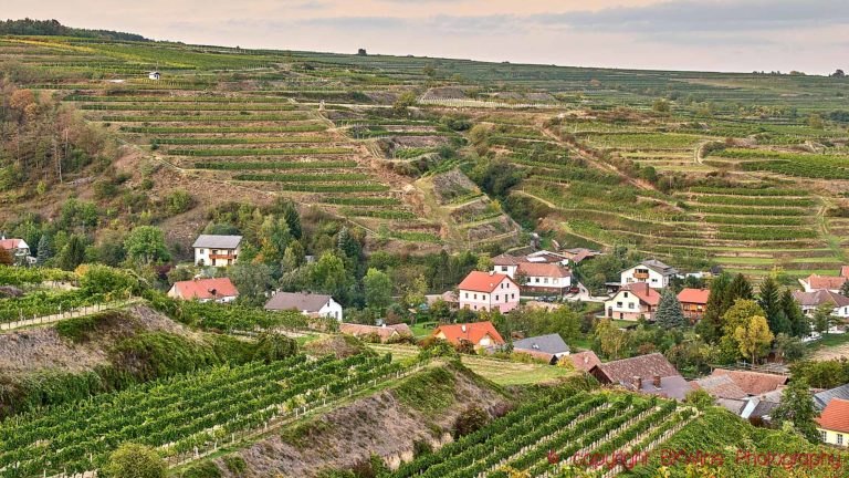
The largest region is Niederösterreich, where the vineyards are planted along the spectacularly beautiful Danube Valley west of Vienna. The second largest is Burgenland which includes Neusiedlersee, known for its red wine from zweigelt and other local grapes and sweet wines.
You can find it here: austrianvineyards


